
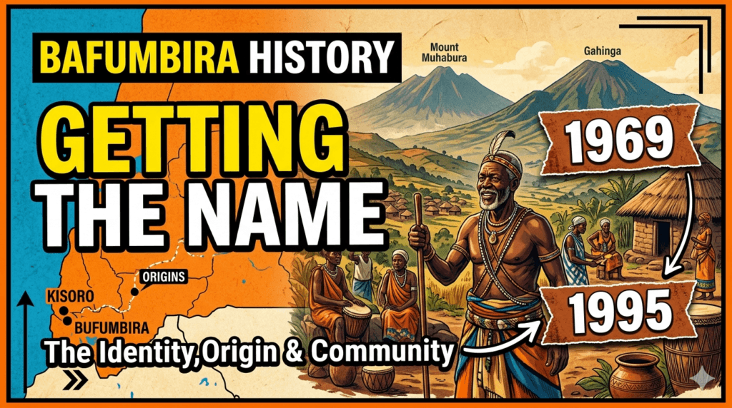
Mufumbiro Ranges: Understanding the ‘Mountains that Cook’ and where they are!
Rising majestically from the mist of the Albertine Rift, the Mufumbiro Ranges represent one of Africa’s most geologically violent yet ecologically rich landscapes. Known internationally as the Virunga Mountains, the name “Mufumbiro”—a local Kifumbira word meaning “the mountains that cook”—perfectly encapsulates the volatile nature of this volcanic chain. Spanning the borders of Uganda, Rwanda, and the Democratic Republic of the Congo (DRC), these peaks are more than just a geographic boundary; they are the lifeblood of the people who live in their shadow.

Geographical Context: Where are the Mufumbiro Ranges?
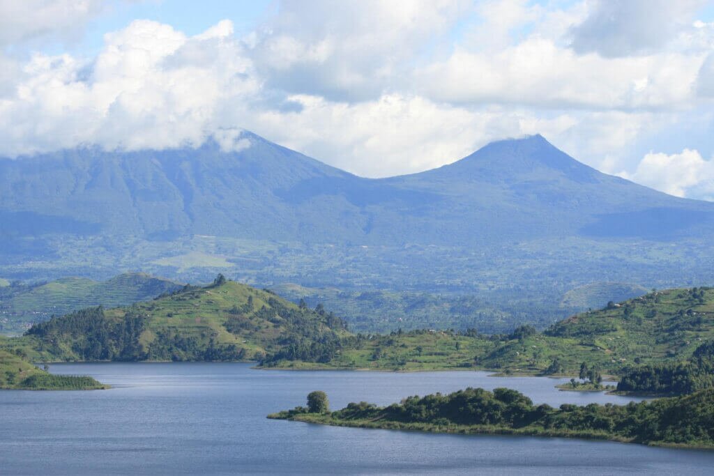
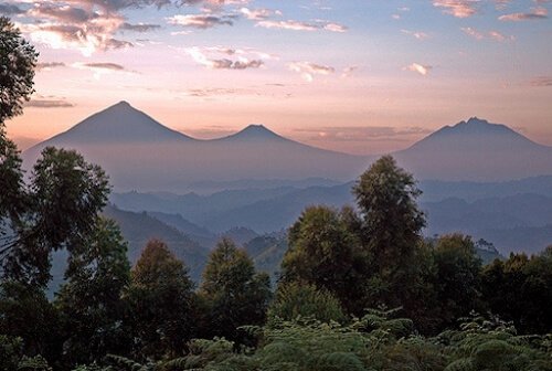
The Mufumbiro Ranges consist of a chain of eight major volcanic peaks. While the entire chain is often referred to as the Virungas, the term “Mufumbiro” is specifically used within Uganda to describe the three easternmost peaks that dominate the horizon of Kisoro District in Southwestern Uganda.
The range is strategically positioned within the Albertine Rift, a branch of the East African Rift System. The eight peaks are distributed as follows:
- Mount Karisimbi (4,507m): The highest, situated on the border of Rwanda and the DRC.
- Mount Mikeno (4,437m): Located entirely within the DRC.
- Mount Muhabura (4,127m): Straddling the Uganda-Rwanda border.
- Mount Bisoke (3,711m): On the Rwanda-DRC border.
- Mount Sabinyo (3,669m): The “Old Man’s Teeth,” marking the exact triple point where Uganda, Rwanda, and the DRC meet.
- Mount Gahinga (3,474m): Situated between Muhabura and Sabinyo on the Uganda-Rwanda border.
- Mount Nyiragongo (3,470m): A highly active volcano in the DRC.
- Mount Nyamuragira (3,058m): Africa’s most active volcano, also in the DRC.
For the people of Kisoro, the “Mufumbiro” specifically refers to Muhabura, Gahinga, and Sabinyo. These three peaks form the backbone of Mgahinga Gorilla National Park, Uganda’s smallest yet arguably most scenic protected area.
The Geology of “Mountains that Cook”
The moniker “Mountains that Cook” is not merely poetic; it is a literal description of the volcanic activity that has shaped the region for over two million years. While the three peaks in Uganda are currently extinct or dormant, their neighbors to the west—Nyiragongo and Nyamuragira—are responsible for nearly 40% of Africa’s historical volcanic eruptions.
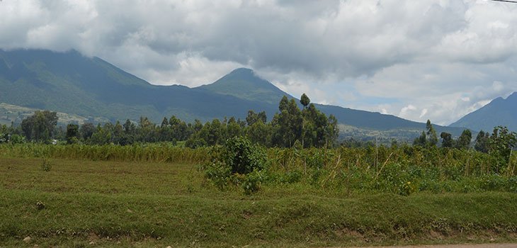
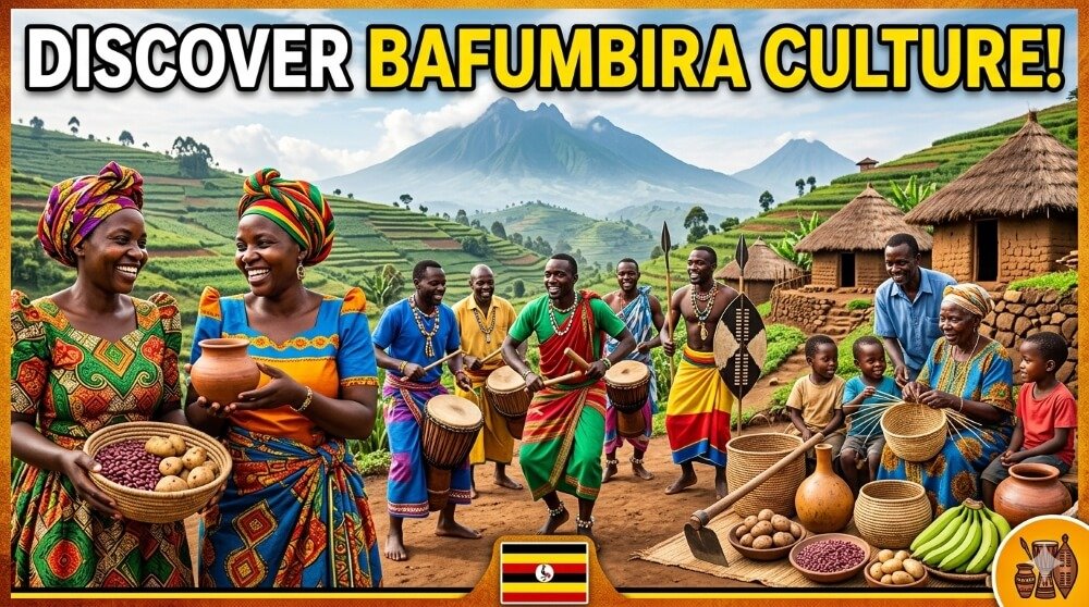
The heat from the earth’s mantle continues to fuel the “cooking” process below the surface. This volcanic heritage has gifted the region with incredibly fertile volcanic soils. For the Bafumbira people, this fertility is the foundation of their intensive terraced agriculture, allowing for the cultivation of Irish potatoes, beans, and coffee in a densely populated highland environment.
Economic Advantages to the Bafumbira People of Kisoro
The Mufumbiro Ranges are not just a scenic backdrop; they are an economic powerhouse for the Kisoro District. The transition from the mountains being a source of wood and bushmeat to a hub for high-end ecotourism has fundamentally shifted the local economy.
1. Tourism Revenue and Gorilla Trekking
The most significant economic driver is Mgahinga Gorilla National Park (MGNP). This park is part of the Greater Virunga Landscape, which hosts the world’s only remaining population of mountain gorillas.
According to the Uganda Wildlife Authority (UWA) annual reports, tourism in the Mufumbiro region has seen a steady climb. In a typical peak year (pre-pandemic and recovering post-2022), Mgahinga receives approximately 5,000 to 7,000 international tourists annually. While this number is lower than the neighboring Bwindi Impenetrable Forest, the economic impact per capita in Kisoro is massive.
As of 2024, a single Gorilla Trekking Permit costs $800 USD for foreign non-residents. With a daily limit of 8 people visiting the Nyakagezi gorilla group, this single group generates $6,400 USD (approx. 24 million UGX) per day in permit fees alone. Under Uganda’s revenue-sharing policy, 20% of the park entry fees are remitted directly to the local government and frontline communities in Kisoro to fund schools, health centers, and roads.
2. Employment and the Hospitality Sector
The presence of the Mufumbiro Ranges has spurred the growth of a robust hospitality sector in Kisoro. This includes high-end lodges like Mount Gahinga Lodge and more accessible hotels in Kisoro Town.
- Direct Employment: Over 500 Bafumbira are directly employed as park rangers, guides, porters, and administrative staff by UWA.
- The Porter System: One of the most direct benefits to local youth is the porter system. A porter earns a minimum of $15 to $20 USD per trek. In a district where the average daily wage for manual labor is often less than $3, a single day’s work as a porter can sustain a household for a week.
3. Agriculture and “Volcanic Branding”
The Mufumbiro Ranges provide a unique microclimate and soil profile. The Bafumbira have leveraged this to become the leading producers of Irish potatoes in Uganda.
- Production Figures: Kisoro District produces an estimated 100,000 to 150,000 tonnes of Irish potatoes annually.
- The “Mufumbiro” Brand: Potatoes and honey from this region fetch a premium price in markets like Kampala because they are “grown in the volcanic soils of the Mufumbiro.” This geographic branding provides an estimated 15-20% price advantage over crops from other regions.
4. Transboundary Trade and Water Security
The ranges act as a massive water tower. The forest cover on Muhabura and Gahinga traps moisture, feeding the gravity flow schemes that provide clean water to over 250,000 people in the Kisoro lowlands. Without these mountains, the costs of pumping water for agriculture and domestic use would be prohibitively expensive for the local population.
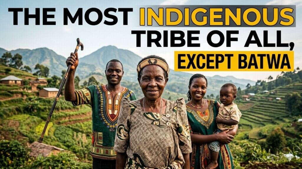
Cultural Significance: The Batwa and Bafumbira
Before the Bafumbira farmers settled the slopes, the Mufumbiro were the ancestral home of the Batwa pygmies. Today, the “Batwa Trail” in Mgahinga is a major cultural tourism product. It allows the Batwa to earn an income by demonstrating their traditional forest life to tourists, with 100% of the proceeds from certain cultural walks going directly to the Batwa community through the United Batwa Development Association (UBDA).
Challenges and Sustainability
Despite the wealth generated, the Mufumbiro Ranges face pressure. Kisoro is one of Uganda’s most densely populated districts, with over 300 people per square kilometer. This creates a “hard edge” between human settlement and the park. However, through conservation education and the direct financial benefits mentioned above, the Bafumbira have become the primary guardians of the “Mountains that Cook.”
Conclusion
The Mufumbiro Ranges are a geographic marvel that defines the identity of Southwestern Uganda. From the steam vents of the active DRC peaks to the serene crater lake atop Mount Muhabura, these mountains are a testament to the earth’s power. For the Bafumbira of Kisoro, the mountains are more than a landmark; they are a source of millions of dollars in tourism revenue, the provider of fertile soil, and a symbol of resilience. As long as the “cooking” continues beneath the earth, the life at the foot of these peaks will continue to thrive.
References and Further Reading
- Uganda Wildlife Authority (UWA). (2023). Annual Conservation Report: Mgahinga Gorilla National Park Statistics. Kampala: UWA Publications.
- Plumptre, A. J., et al. (2007). The Biodiversity of the Albertine Rift. Biological Conservation, 134(2), 178-194.
- Kisoro District Local Government. (2022). District Statistical Abstract and Economic Overview. Kisoro: DLG Press.
- Schildkrout, E. (1999). The Virunga Volcanoes: Conservation and Community in the Heart of Africa. American Museum of Natural History.
- International Gorilla Conservation Programme (IGCP). (2021). Economic Impact of Mountain Gorilla Tourism in the Greater Virunga Landscape. Kigali/Kampala.
- Butynski, T. M., & Kalina, J. (1993). Essential Features of Mt. Gorilla Conservation and Education in Uganda. African Journal of Ecology.


Responses